Step #1: Complete Data Use Training
Access the Data Use Training here: https://www.natureserve.org/data-use-training. Make sure to use the same email that you use to create your NatureServe Explorer Pro account (Step #2 below).
- Completion of NatureServe Data Use Training is required for those accessing precise species location data or species habitat models that are sensitive and therefore governed under a data license agreement but is also recommended for anyone using NatureServe data and interested in learning more about the methodology behind the development of our species and ecosystem data.
- This four-part training takes under an hour to complete. It provides an overview of NatureServe and the NatureServe Network Programs, the available biodiversity data and data products, and the methodology used to ensure standardized and high-quality information. The training also provides guidelines to support the appropriate use of NatureServe data.
To become a NatureServe Certified Data User, you are required to view four videos. You can pause and come back to each video at any time. After viewing the videos, hit the Complete the Training button and you will be required to fill out a form to confirm completion of the training.

Submitting the Data Use Training Completion and Data License Agreement Forms will notify NatureServe's Biodiversity Location Data (BLD) Team to add you to the appropriate user group. The BLD team will notify you when access has been granted.
If additional assistance is needed to access NatureServe data, please email DataSupport@natureserve.org (please add "Explorer Pro Support Request" to the subject line) with a description of what is needed.
Step #2: Accessing NatureServe Explorer Pro
If you are already a registered Explorer Pro user, please complete the Data Use Training (Step #1 above) and upon completion you will have access to review and agree to the Terms of the License Agreement.
Not yet registered on Explorer Pro? Follow the steps below to get registered:
Register for NatureServe Explorer Pro
Register to view NatureServe data on the NatureServe Explorer Pro.
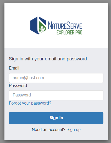
- Visit the NatureServe Explorer Pro website (https://explorer.natureserve.org/pro/Welcome) and sign up with the same email and password used to complete the Data Use Training Completion Form.
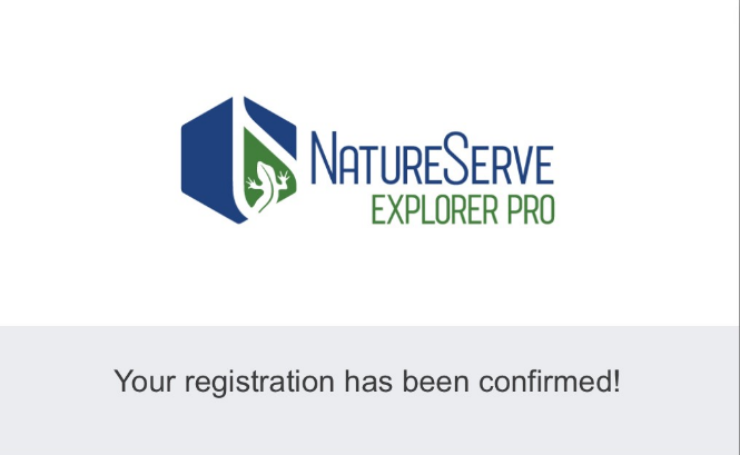
2. You will receive an email with a link to verify your email address. Click the link and it will open a browser with a message confirming your registration
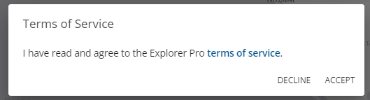
3. Return to the sign in screen to sign into Explorer Pro with your account. Upon sign in, you will need to agree to the terms of service by clicking “Accept.”
Step #3: Accessing the Geodata Portal
Authorized users can access occurrence data and species habitat models through a geodata portal for downloading their own analyses in ArcGIS Pro. The section below outlines how you can access the geodata portal.
Users must first complete the Data Use Training (Step #1 above) and sign up for NatureServe Explorer Pro to gain access (Step #2 above).
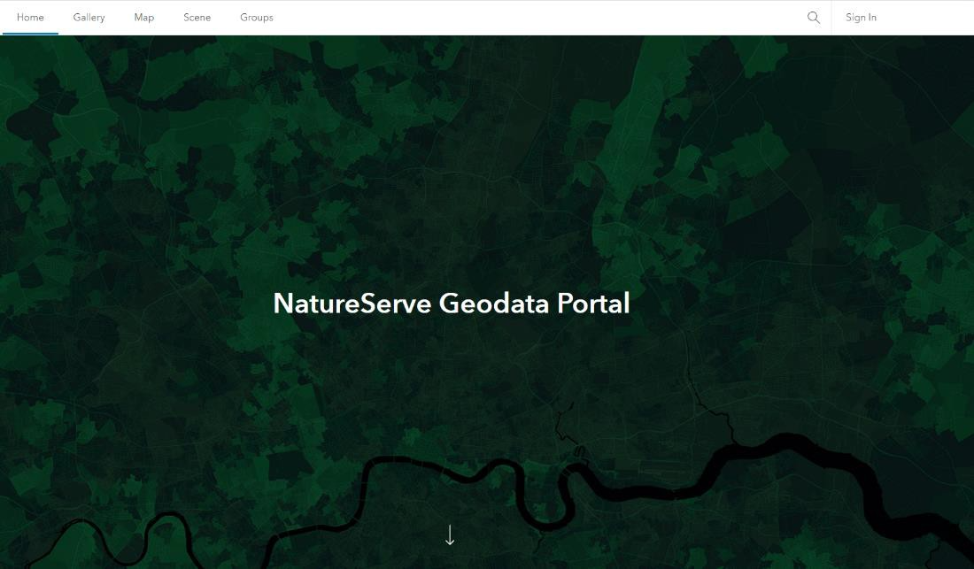
1. Once you have completed the Data Use Training and created your account on NatureServe Explorer Pro, navigate to the NatureServe Geodata Portal and click “Sign In” at the top right corner.
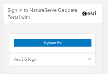
2. Click the button labeled “Explorer Pro” and sign in using your Explorer Pro login credentials (see the section above titled “Register for NatureServe Explorer Pro” if you need to create an account).
3. Once your account has been given access, see Use the Geodata Portal: NatureServe's BLM Support for instructions on using the Geodata Portal..
Was this article helpful?
That’s Great!
Thank you for your feedback
Sorry! We couldn't be helpful
Thank you for your feedback
Feedback sent
We appreciate your effort and will try to fix the article